


A massive section of the Dehdal Glacier in Tojikobod district (Rasht Valley in eastern Tajikistan) unexpectedly shifted more than five kilometers in just 15 minutes, according to specialists from the country’s Hydrometeorology Agency (Hydromet).
The event occurred on October 25, when a block of ice approximately 1,500 meters long and about 50 meters high detached and moved rapidly. The incident was detailed during a press conference held on October 31 by the Hydrometeorology Agency under the Committee for Environmental Protection of the Government of Tajikistan.
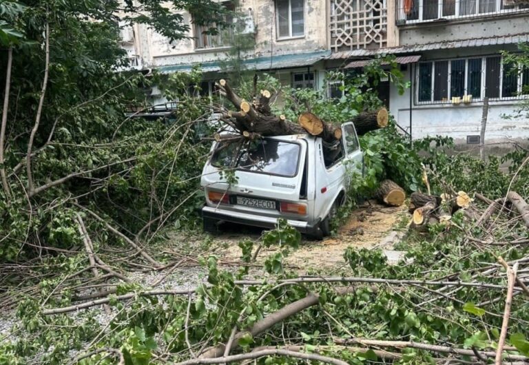
Experts attribute the glacier’s sudden movement to the unusually hot summer and prolonged drought in the region. “Rising air temperatures and a lack of precipitation significantly accelerated glacier melt and disrupted the ice mass’s water balance,” the agency explained.
The Dehdal Glacier, also known as Didal, is located near the village of Safedob. Specialists emphasize that the glacier shift is a direct result of climate change, which is accelerating the degradation of glaciers across Tajikistan’s mountainous regions.
“We are conducting regular monitoring of the Dehdal Glacier and other active glaciers, expanding research and assessing natural risks. Our goal is to develop practical recommendations to prevent the consequences of floods and ensure public safety,” an official source within Hydromet stated.
Tajikistan is home to more than 8,000 glaciers, 19 of which are classified as major. These glaciers play a vital role in supplying the country and its neighbors with fresh water, particularly during the hot summer months. They feed the Amu Darya and Zeravshan river systems, which flow into downstream countries such as Uzbekistan, Turkmenistan, and Kazakhstan.
Although glaciated areas cover only 6–8% of Tajikistan’s territory (about 8,476 square kilometers), they store a significant volume of freshwater. The largest glaciers are concentrated near the country’s highest peaks, including Mount Ismoili Somoni and Mount Abu Ali ibn Sina.
Scientists warn that many of Tajikistan’s glaciers have already retreated several kilometers due to climate change. In some cases, the melting is considered irreversible, with industrial development further accelerating the process.