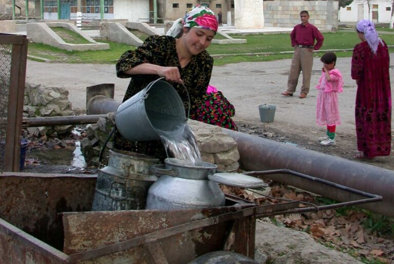


In High Mountain Asia, including Tajikistan, avalanches pose a serious threat to 20% of buildings and annually block 22% of roads. Throughout High Mountain Asia, only 15% of the studied watersheds showed a slight annual increase in the number of avalanches.
Recently, a study titled “Long-term Trends of Snow Avalanches in High Mountain Asia: Climatic Factors and Consequences” was published in the Earth’s Future journal. It represents the first of its kind regional assessment of vulnerability to snow avalanches for all mountainous settlements, roads, buildings, and agricultural lands in High Mountain Asia, covering the area from Central Asia to the Himalayas.
The obtained data can significantly enhance infrastructure resilience and improve sustainable development planning in the country’s mountainous regions.
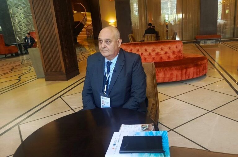
Dr. Arnaud Caiserman, a scientist at the University of Central Asia (UCA) and the study’s lead author, shared the key findings of the research in an exclusive interview with “Asia-Plus.”
How satellite images help in avalanche mapping
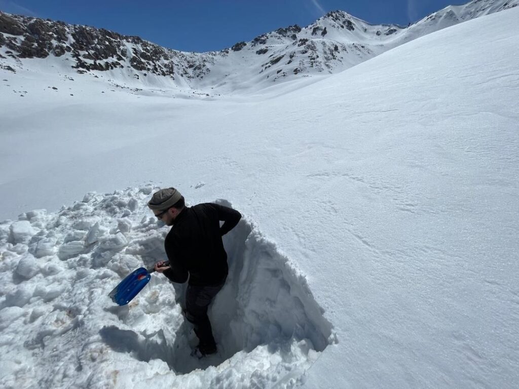
Research on snow avalanches in the high mountain regions of Asia became possible thanks to a combination of field expeditions and satellite data. Arnaud Caiserman spoke about the significance of this work and the challenges the team faced.
“When I started working at UCA five years ago, I traveled around Tajikistan and became interested in avalanches,” he says.
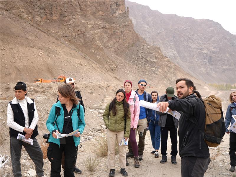
During these trips, expeditions were organized in high-risk areas, which became the foundation of the study.
The work took place in challenging conditions — in hard-to-reach areas without roads, at altitudes over 4000 meters, and in avalanche-prone zones. But the team was well-prepared, and the research proceeded without incidents.
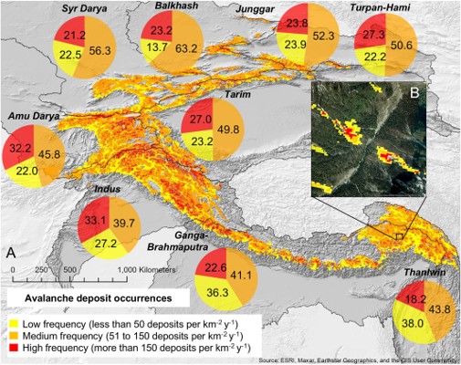
For analysis, Landsat satellites were used, allowing for avalanche tracking even where there are no meteorological observations. This provided significant advantages over traditional methods. Using a developed algorithm in Google Earth Engine, avalanche data was extracted automatically, significantly speeding up the process.
This method has become an important tool for making safety decisions in mountain areas.
The project also became an example of international cooperation — involving research centers from Austria and Nepal, which exchanged data and expertise.
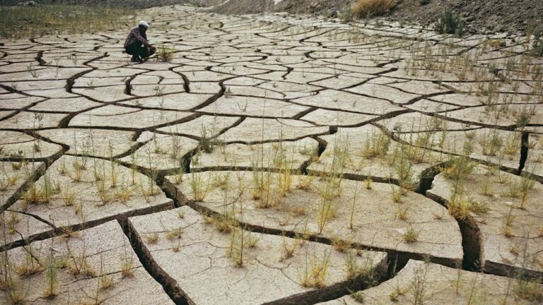
As a result, it was found that 20% of buildings in high-altitude areas are at avalanche risk, 22% of roads are blocked by avalanches at least once a year, and 6% of agricultural lands are in the risk zone, which could threaten food security.
“Our goal is to create a simple and accessible method for avalanche mapping using open satellite data,” explains the scientist.
How avalanche data can help Tajikistan?
According to Arnaud Caiserman, he presented an avalanche risk map, created using the SAFE method, at a meeting at the Emergencies Committee under the Government of Tajikistan. Dr. Kaiser, particular, highlighted its practical significance.
At the same time, the scientist suggested extending some galleries to enhance safety. He clarified that the method allows for determining risk zones and avalanche frequency but does not provide an exact forecast of their occurrence.
All data has been made publicly available and can be used for planning and developing protective measures.
“They help prioritize investments, for example, determining where protective galleries should be built first, as these are costly projects,” explains Caiserman.
According to him, the research results are also useful for simpler and less costly solutions, such as installing warning signs in avalanche-prone zones.
Avalanche threat in the Pamirs
According to Arnaud Caiserman, in the western part of High Mountain Asia, climate change has a limited impact on avalanche frequency.
“We see only a slight increase in their frequency in certain areas, associated with rising temperatures and water content in the snow,” he notes.
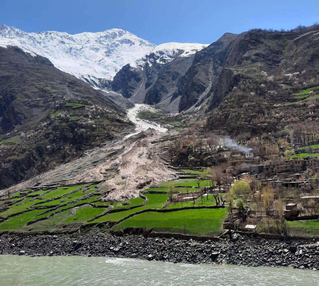
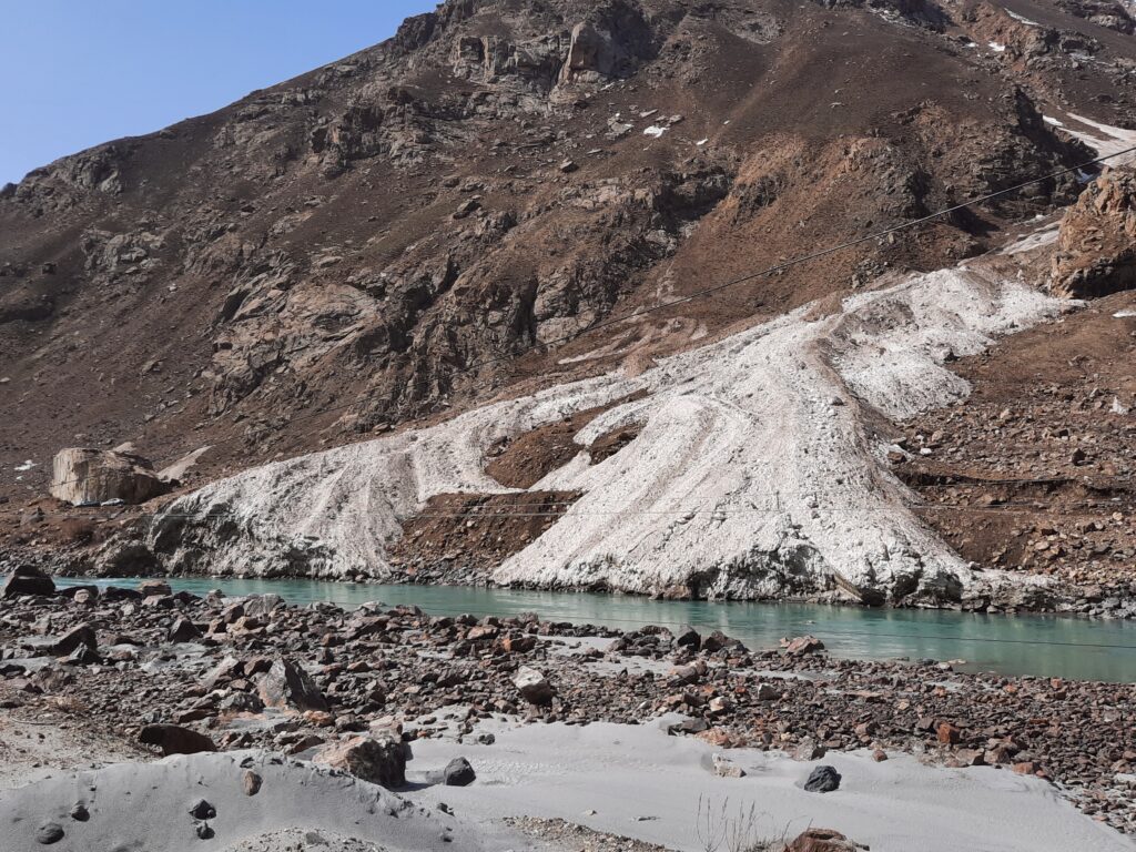
Nevertheless, even such changes can seriously affect people’s lives, especially in the Pamirs, where avalanches regularly block roads.
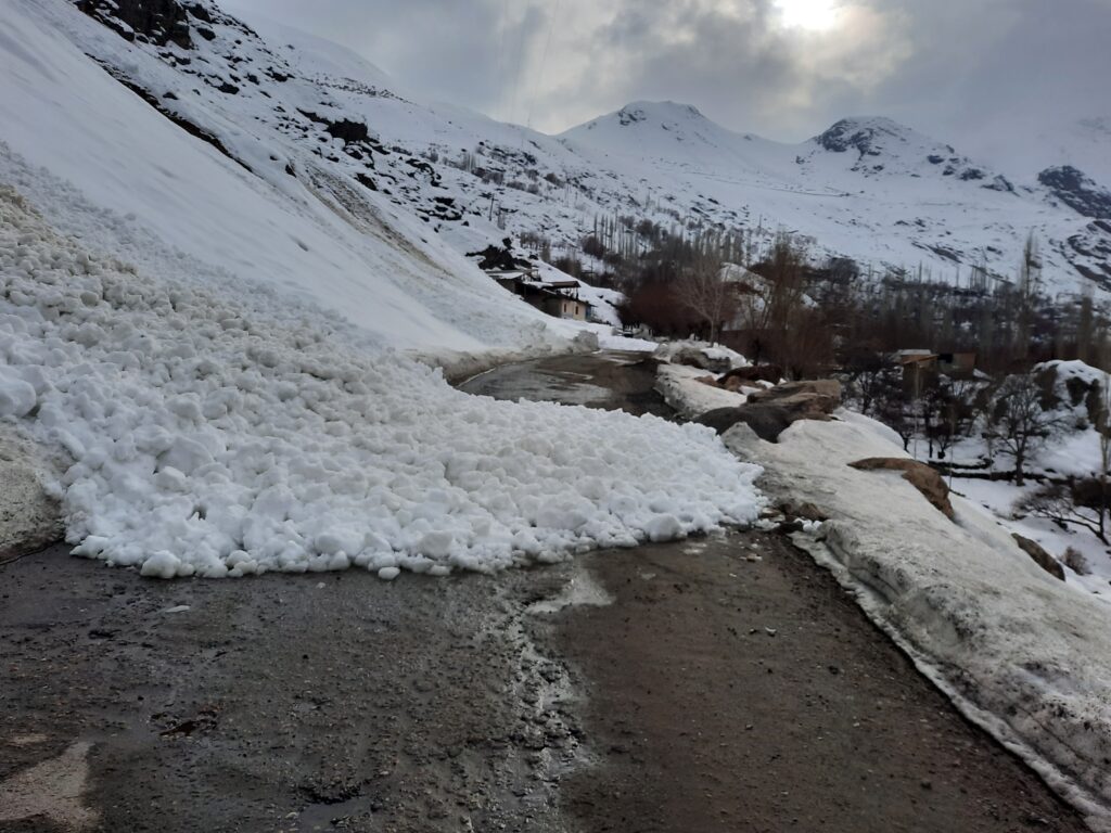
In recent years, there is growing interest in construction in the Pamirs; however, land scarcity forces people to build homes in avalanche-prone areas.
“An example remains the avalanche in Khorog in 2023, which confirmed that the threat persists,” says Caiserman.
He emphasized that climate is not the only factor. It is important to consider the periodicity of major avalanches.
The scientist also drew attention to the phenomenon of “social memory”: if avalanches do not occur for a long time, people start considering the area safe and actively develop it.
According to him, the research results allow for more accurate risk assessment and planning of protective measures. Avalanche activity maps help identify the most vulnerable areas and prioritize correctly, which is especially important for regions like the Pamirs and the Anzob Pass.
Arnaud Caiserman’s personal experience
Arnaud Caiserman shared his impressions of working in the high-altitude regions of Tajikistan, noting that avalanches are not only natural disasters but also a serious socio-psychological problem.
According to him, working in such conditions showed the need to increase the resilience of mountain communities. “It’s important to collaborate with local authorities and residents to improve their protection,” adds the scientist.

Caiserman noted that Tajikistan’s experience could be useful for other regions: in High Mountain Asia, only 15% of avalanche deaths are related to mountaineering, whereas in Europe and the USA, it’s about 90%.
He was particularly impressed by the scale of avalanches. “The Pamirs and Central Asia are a natural laboratory for their study,” he is convinced.
Speaking about the avalanche in Khorog in 2023, the scientist emphasized the resilience of local communities: “People helped each other cope with the consequences of disasters.”
He also noted that Tajikistan remains an important platform for studying the impact of climate on avalanches. The work is conducted jointly with scientific institutes and CES, however, according to him, there is a need to improve the zoning of hazardous areas.
“Avalanches are not the only threat: floods, mudflows, and glacial lake outbursts will occur more frequently with climate change,” the researcher adds.
DOSSIER ASIA+:
Arnaud Caiserman is a French geographer, a scientist at the University of Central Asia, studying natural risks, climate, and water resources in arid regions. Since 2015, he has been working in the countries of Western and Central Asia, including Tajikistan and Kyrgyzstan.
Working in the Pamirs, he develops monitoring tools and studies the distribution of snow resources. Kaiser views avalanches as a serious socio-economic threat to mountain communities.
His work aims to support decision-making and understand the impact of climate changes on water resources, agriculture, and energy.